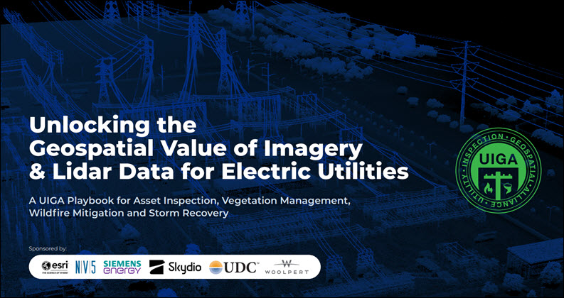
“Unlocking the Geospatial Value of Imagery & Lidar Data for Electric Utilities” is a playbook that offers utilities foundational knowledge and best practices to modernize asset inspection, vegetation management, wildfire mitigation, and storm recovery.
Prepared for the Utility Inspection & Geospatial Alliance (UIGA) by Energy Changemakers, the publication explores how integrating reality capture technologies with geospatial platforms, artificial intelligence and automation enables a shift from reactive maintenance to proactive, intelligence-driven operations.
Rather than simply collecting more data, utilities must establish enterprise strategies for acquiring, governing, managing and applying trusted imagery and lidar data. To maximize value, utilities should:
- Build a shared geospatial foundation
- Eliminate data silos
- Modernize workflows
- Adopt scalable data architectures
The playbook offers a series of modernization best practices, key questions to ask and answer to build the right modernization roadmap and no-regrets actions to start now. These foundational playbook steps will position utilities to take advantage of emerging capabilities, such as advanced analytics, digital twins, predictive asset inspection and AI-enabled automation. Utilities with a strategic approach to capturing, managing and operationalizing imagery, lidar and geospatial data as enterprise assets will be best positioned to:
- Reduce outages
- Extend asset life
- Increase inspection and maintenance
efficiency - Strengthen regulatory compliance
- Enhance system resilience
By following a structured modernization roadmap and partnering with technology providers that support open, interoperable ecosystems, utilities can accelerate their transition to a safer, more reliable, and more resilient electric grid while delivering greater long-term value.