
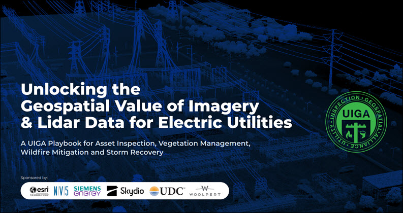
Electric utilities are collecting more imagery, lidar and geospatial data than ever — from drones, satellites, field crews, sensors and vehicle-mounted systems. But simply gathering more data does not necessarily improve reliability or lower costs.
A new playbook from the Utility Inspection & Geospatial Alliance (UIGA) argues that the bigger opportunity is to treat imagery and lidar as enterprise assets — integrating them with geospatial platforms, AI and automated workflows to move utilities from reactive maintenance toward proactive, intelligence-driven operations.
The report, “Unlocking the Geospatial Value of Imagery & Lidar Data for Electric Utilities,” focuses on four areas where better data can have an immediate operational impact: asset inspection, vegetation management, wildfire mitigation and storm recovery.
One of its central messages is that modernization is as much about data strategy as technology. Utilities need a common geospatial foundation, consistent governance and systems that make trusted data available across departments rather than trapping it in project or departmental silos.
The payoff can be significant. Better integrated imagery and lidar can help utilities identify deteriorating assets sooner, target vegetation work more precisely, evaluate wildfire risks and assess storm damage in near real time. The playbook says those capabilities can reduce outages and costs, extend asset life, improve regulatory compliance and enable future AI-driven automation.
The 20-page report goes beyond the technology itself. It offers nine best practices, a set of questions utilities can use to build a modernization roadmap and several “no-regrets” actions they can begin now — including improving asset inventories, strengthening data governance and eliminating fragmented workflows.
For utility leaders wrestling with how to turn an expanding universe of imagery and geospatial data into measurable operational value, the playbook offers a practical place to start.